Free Quote

Setup


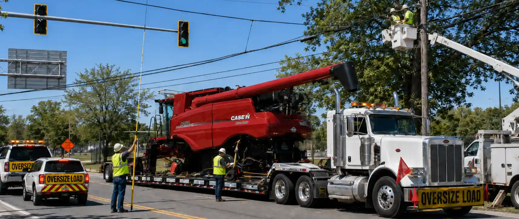
Automated mapping software creates illusions of operational security. Dispatchers regularly rely on state department databases to plot heavy haul corridors, assuming digital files reflect reality. This assumption routinely causes catastrophic infrastructure strikes. Digital routing models frequently operate on delayed data feeds, ignoring real-time physical modifications on critical corridors. Securing automated state approvals means nothing when loaded trailers wedge under unmapped bridge arches. True operational velocity requires physical confirmation before trucks leave staging yards. Relying on visual validation prevents structural accidents, shields motor carrier operating authority, and preserves profit margins.
State database limitations stem from systemic administrative backlogs. Local municipal crews repave highways annually, adding three-inch asphalt overlays beneath overhead bridges. These crews rarely update central DOT clearance logs immediately. Consequently, an overpass marked at 14 feet 6 inches might physically measure only 14 feet 3 inches. For high-profile cargo, those missing inches translate into immediate structural impacts. Executing physical route surveying eliminates database lag risks. Specialized teams drive routes ahead of scheduled shipments, utilizing calibrated laser measuring devices and physical height poles to record exact clearance dimensions under live conditions.
Overhead utility lines introduce extreme variables into transport physics. Telecommunication cables sag over time due to thermal expansion during peak summer months or ice accumulation during winter storms. State tracking systems completely ignore low-hanging local utility lines on secondary roads. Pushing heavy equipment through rural corridors without performing a detailed routing survey guarantees utility line snags. Slicing live power lines triggers immediate electrical fires, decimating expensive cargo and exposing carriers to massive municipal lawsuits. Physical scouts identify low wires early, allowing logistics managers to coordinate utility bucket trucks to lift lines safely before convoys arrive.
Tree canopy growth creates additional physical blockages on rural state routes. Heavy branches overhanging traffic lanes damage delicate components on industrial machinery or tear expensive protective tarps. Standard DOT clearance records do not track seasonal vegetation expansion. Furthermore, traffic signals in historic municipal centers frequently hang lower than federal interstate minimums. A comprehensive route survey for highways must document every individual signal arm, overhead guide sign, and utility connection traversing the planned path. Knowing exact overhead clearance metrics allows carriers to adjust trailer deck heights or select alternative bypass routes before facing physical dead ends.
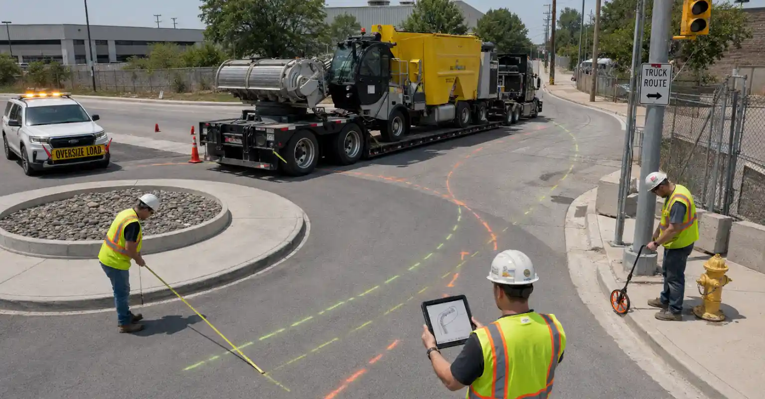
Modern intersection designs increasingly favor roundabouts over traditional traffic signals to manage civilian vehicle flow. While efficient for passenger cars, roundabouts present severe geometric barriers for extended combination vehicles. Long blade-trailers, multi-axle modular configurations, and heavy lowboys physically lack the turning radius required to clear concrete center islands. Long wheelbases cause severe trailer off-tracking, where rear wheels pull deep inside the tractor path. Physical scouts execute precise swept-path analysis at problematic intersections during the survey routing phase. They verify whether trailer tires will climb curbs, strike traffic signs, or collide with concrete structural barriers.
Tight right-hand turns in urban centers present identical horizontal challenges. Historic brick buildings, permanent utility poles, and municipal fire hydrants sit directly on curb edges. Pushing a 15-foot-wide payload through narrow city grids requires absolute geometric certainty. Automated routing software cannot calculate real-time street furniture placement. Physical surveyors measure exact distances between opposing curb hazards, documenting narrow lanes down to the single inch. If physical lane width drops below payload parameters, surveyors identify alternative corridors, eliminating the risk of rigs getting wedged in tight urban intersections mid-route.
Gross tonnage limits restrict structural access across rural territories. While interstate bridges handle massive weight limits, secondary roads feature aging concrete culverts and weak bridge decks. State engineers implement sudden weight restrictions on older structures without warning. Submitting heavy haul profiles without verifying local bridge conditions triggers immediate structural failures or severe legal citations. Surveyors physically inspect route corridors for fresh weight-limit postings and structural deterioration. They check culvert headings for visible sagging or masonry failure, ensuring paths safely support extreme axle configurations.
Active construction zones alter highway geometry overnight. Concrete jersey barriers choke physical lane dimensions. Road crews drop concrete blocks overnight, erasing valuable shoulder space. Standard 12-foot highway channels instantly compress into 10-foot bottlenecks. Digital DOT systems rarely log these immediate physical closures. Automated permits fail to log these midnight shifts accurately. Surveyors document live construction bottlenecks, measuring exact clearance between concrete barriers and guardrails. Identifying active construction chokepoints allows dispatchers to adjust travel windows, routing shipments through construction corridors exclusively during night shifts when crews open additional lanes.
Downtime costs in heavy haul logistics escalate exponentially. Grounded trucks burn operational capital every hour they sit idle on highway shoulders. When unpermitted trucks encounter physical blockages, entire logistical chains fracture. Crane crews at receiving jobsites charge massive standby rates while waiting for delayed components. These rigging crews bill carriers thousands per hour for sitting idle. A professional routing survey minimizes transit friction, ensuring rigs maintain steady forward momentum. Eliminating unexpected route obstructions prevents catastrophic project back-charges, preserving corporate relationships with prime industrial shippers.
Enforcement penalties for route deviation carry severe financial consequences. When drivers exit approved permit paths to bypass unmapped physical barriers, highway patrol interceptors issue maximum citations. Officers treat unauthorized route deviation as unpermitted transit, locking down equipment with immediate out-of-service orders. Scale houses verify electronic truck telematics logs against printed permits. Mismatched route geometry triggers structural audit protocols. Investing in pre-trip surveying remains exponentially cheaper than absorbing court-mandated infrastructure damage fines, emergency equipment rigging fees, and elevated insurance premiums. Precision data secures legal, efficient, and profitable heavy haul operations.
The efficiency of your daily broker and ways to check their credibility
Oversize load travel windows vary by state, city, and route. Learn how rush-hour curfews and local restrictions affect interstate haul planning.
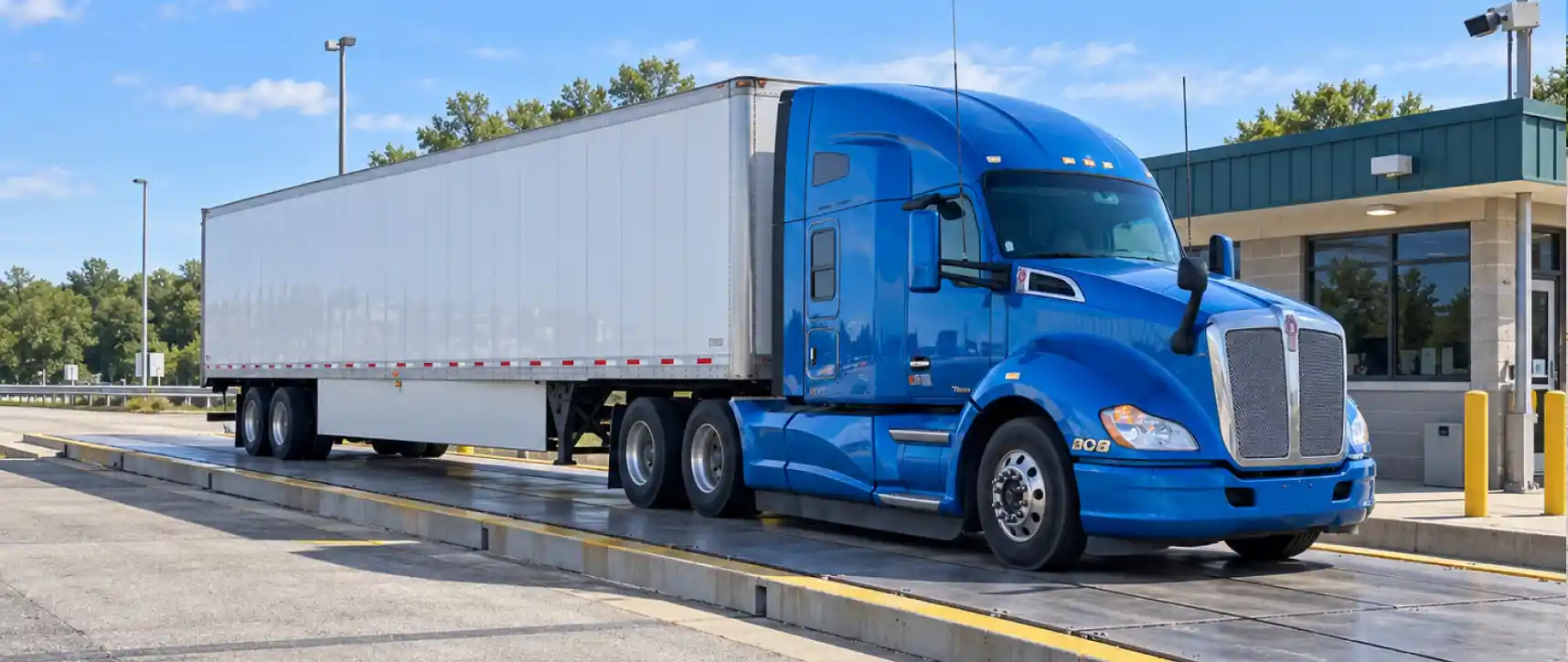
Understand US commercial truck weight limits, from gross vehicle weight to axle loads, state exceptions, and overweight permit requirements.
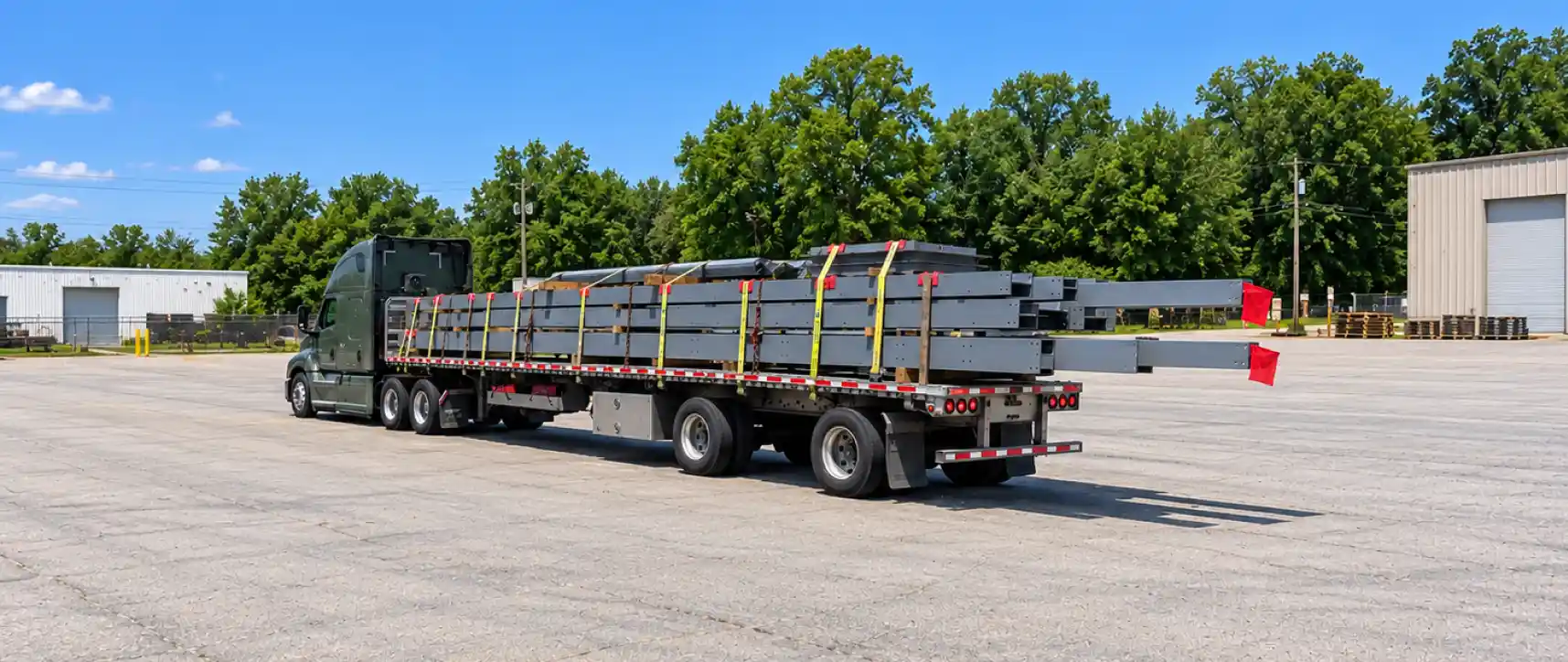
When does a long load require a permit? Learn how trailer length, cargo overhang, state rules, and escort requirements affect your next haul.
Oversize load travel windows vary by state, city, and route. Learn how rush-hour curfews and local restrictions affect interstate haul planning.
Understand US commercial truck weight limits, from gross vehicle weight to axle loads, state exceptions, and overweight permit requirements.
When does a long load require a permit? Learn how trailer length, cargo overhang, state rules, and escort requirements affect your next haul.